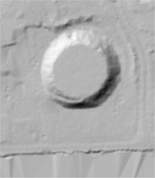
The The Historic Environment Record for Bedfordshire says:-
Summary
The site of Bedford Castle, probably founded by the Beauchamp family who held it in 1130. It was taken by Falkes de Breaute in 1215 and refortified, but after a siege in 1244-1225 it was taken by Henry III who ordered the defences to be dismantled and the motte slighted.
The motte and part of the bailey are a Scheduled Monument (No 20412). The motte is an earthen mound c.10m high and 70m diameter at the base, with a flat top c.50m in diameter. The motte was encircled by a ditch approx 15m wide which is now partially infilled; the outer scarp can still be seen to the north east of the motte. A section was excavated in 1972 which showed that the ditch was up to 4m deep with a stone-faced revetment. The ditch was partly open in the 19th century and is known to have drained into the river to the south of the motte. The motte was the central stronghold for the castle; there were additional quarters in the fortified bailey, which was subdivided into two separate defended areas. Parts of the bailey were excavated in 1969-1973 and again in 2007. A large building thought to be the Great Hall is now visible as part of an archaeology park to the north of the Swan Hotel, and a lime kiln (HER7336) is also preserved in situ.
Full description at the Historic Environment Record.