What is LIDAR?
An explanation
Aerial LIDAR
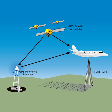
LIDAR uses an active laser beam transmitted in pulses from an aircraft with sensors recording the returning reflection. The precise location of the sensor array is known due to a combination of Global Positioning System (GPS) and the Inertial Measurement Unit (IMU) in the aircraft. The measurement of the time taken for a pulse of light to reach the target and return is used to record the location of points on the ground with a very high degree of accuracy, typically 100–150mm in both plan and height. The laser beam scans across the ground surface recording 100,000 points or more every second.
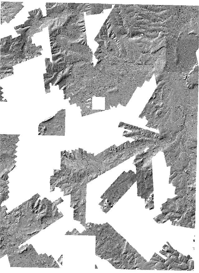
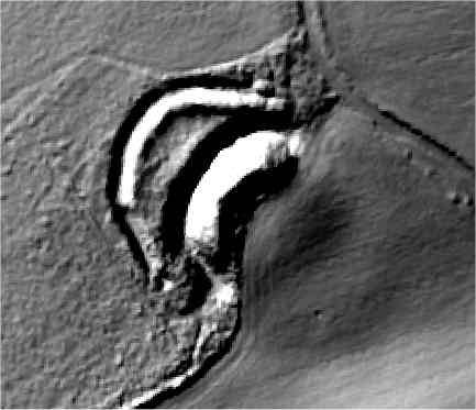
Airborne lidar, therefore, provides the ability to collect very large quantities of high precision measurements in a short time. What it records is the three-dimensional location of a point in space together with some information on the intensity of the reflection.