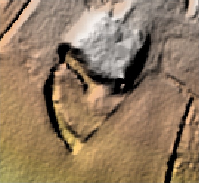
Manor House.
Colmworth.

Location

Grid Reference TL107585

Latitude 52.214243° Longitude -0.3800599°

The The Historic Environment Record for Bedfordshire says:-

Summary

Manor Farm stands on pronounced square platform, with traces of moat surrounding. A series of fishponds occur in the stream valley to the south.

Full description at the Historic Environment Record.

Aerial

2D LIDAR

LIDAR

3D LIDAR interactive

3d_rotation Left mouse button to rotate.
swap_horiz Right mouse button to pan.
swap_vert Centre scroll wheel to zoom.

Click to open interactive 3D LIDAR in separate window