Howbury – Addingreves Castle.
Renhold.
Location
Grid Reference TL106513
Latitude 52.1489° Longitude -0.3836938°
Aerial
2D LIDAR
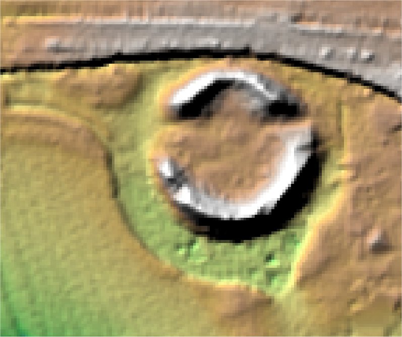
3D LIDAR interactive
3d_rotation Left mouse button to rotate.
swap_horiz Right mouse button to pan.
swap_vert Centre scroll wheel to zoom.