The King's Dyke.
Bedford.
Location
Grid Reference TL053492
Latitude 52.131295° Longitude -0.462527°
The The Historic Environment Record for Bedfordshire says:-
Summary
The boundary ditch to Bedford's southern burh, constructed by Edward the Elder in c919AD. Partly survives, with traces of the internal bank also visible. Small excavations in 1971 found pottery of the 11th to 12th century AD in the internal bank, and it was suggested that the boundary was consolidated in the 11th to 12th centuries AD. It is also possible that it was not constructed solely as a defensive feature, but also as a method of flood alleviation. Parts of the earthwork are visible on the traffic island at the southern end of St John's Street, and between Rope Walk and Cardington Road. The remainder has been culverted and covered by modern development.
Location
Aerial
2D LIDAR
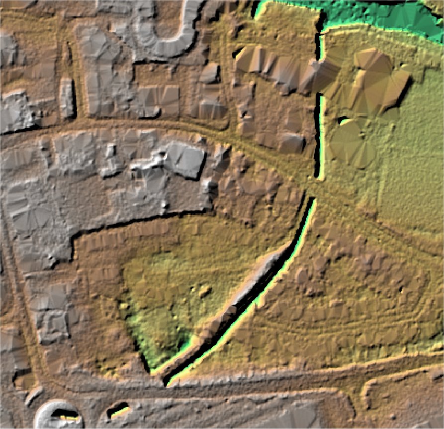
3D LIDAR interactive
3d_rotation Left mouse button to rotate.
swap_horiz Right mouse button to pan.
swap_vert Centre scroll wheel to zoom.