Quince Hill.
Old Warden.
Location
Grid Reference TL137446
Latitude 52.087749° Longitude -0.342033°
The The Historic Environment Record for Bedfordshire says:-
Summary
Quince Hill ringwork is defended by earthen banks and deep ditches. Many earthworks have since been levelled but the line of the infilled surrounding ditch can be observed as a slight break in slope of the hillside. Further defences on the uphill side are demonstrated by an outer bank and ditch, and within the ditch is a bank 2.5m high; a small terrace can be seen between the outer bank and the inner ditch. The entrance was on the north west side, marked by a causeway across the two ditches and by slight depressions in the banks. The ringwork is interpreted as a ring-motte, and dated to the late Saxon/early Norman period.
Aerial
2D LIDAR
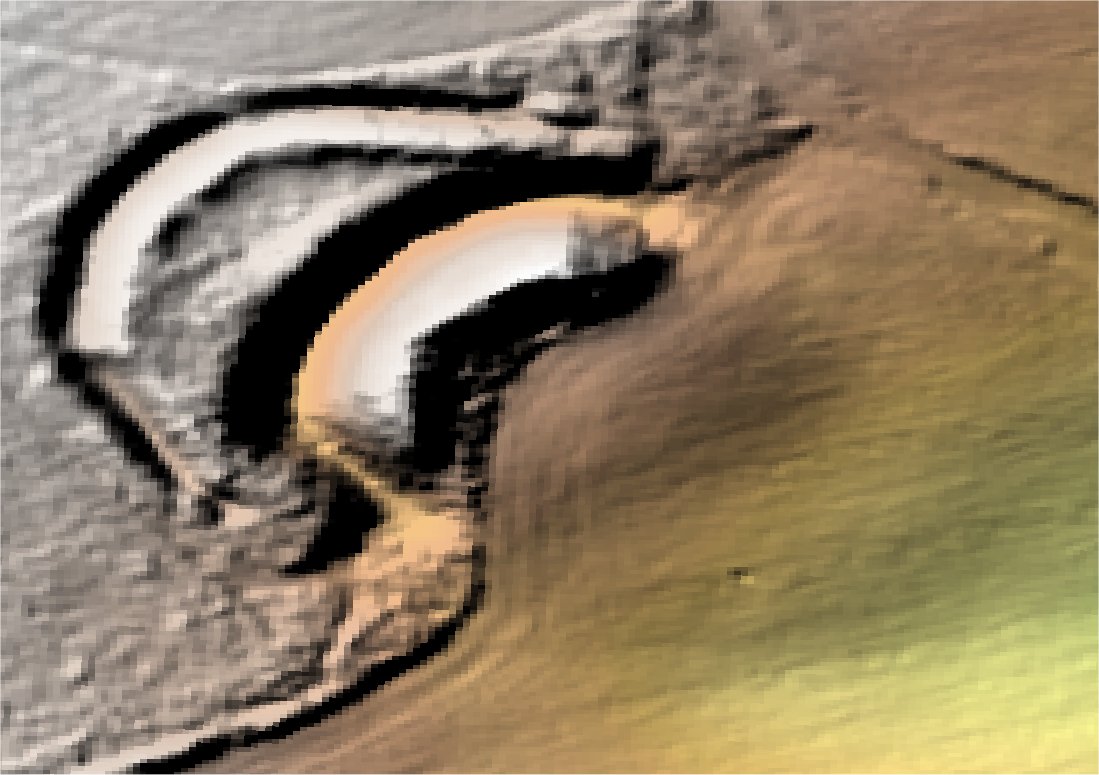
3D LIDAR interactive
3d_rotation Left mouse button to rotate.
swap_horiz Right mouse button to pan.
swap_vert Centre scroll wheel to zoom.