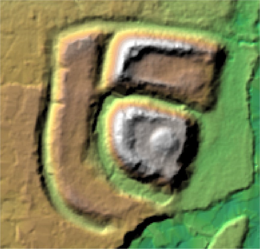
Castle Hills, The Hillings.
Eaton Socon.

Location

Grid Reference TL173589

Latitude 52.215843° Longitude -0.2838452°

The The Historic Environment Record for Bedfordshire says:-

Summary

Castle Hills is a Norman ringwork castle overlying part of the late Saxon Vill and medieval village which was deserted, at least in part, to make way for the stronghold. The ringwork was used subsequently as the site of a windmill.

Full description at the Historic Environment Record.

Aerial

2D LIDAR

LIDAR

3D LIDAR interactive

3d_rotation Left mouse button to rotate.
swap_horiz Right mouse button to pan.
swap_vert Centre scroll wheel to zoom.

Click to open interactive 3D Lidar in separate window