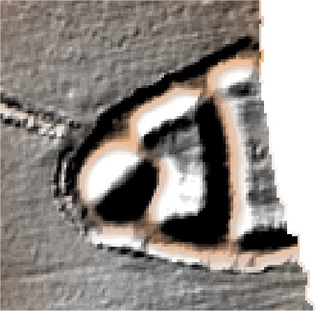
The Hills.
Meppershall.

Location

Grid Reference TL133359

Latitude 52.009769° Longitude -0.3504063°

The The Historic Environment Record for Bedfordshire says:-

Summary

Motte with double outer bailey, reported to have been besieged by Stephen in 1138. Probably superseded by moated site adjacent. The whole complex, with the church, sits within an outer rectangular enclosure, the outline of which is clearly reflected in the historic field boundaries.

Full description at the Historic Environment Record.

Aerial

2D LIDAR

LIDAR

3D LIDAR interactive

3d_rotation Left mouse button to rotate.
swap_horiz Right mouse button to pan.
swap_vert Centre scroll wheel to zoom.

Click to open interactive 3D Lidar in separate window