Manor Homestead.
Moggerhanger.
Location
Grid Reference TL144489
Latitude 52.126915° Longitude -0.330119°
The The Historic Environment Record for Bedfordshire says:-
Summary
An apparent homestead moat, 50m by 60m with an entrance at the south east corner. It sits in the south east corner of a larger moated enclosure, 80m east to west by 140m north to south, with possible entrance ways in the east and west sides. The moats hold water and have been cleared to provide water for the surrounding fields. There is no indication of buildings within the moats but the associated farm is known as Manor Farm. The possibility exists that the moats are connected fishponds and not the site of a manor house.
Aerial
2D LIDAR
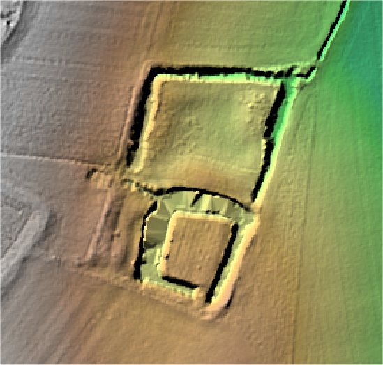
3D LIDAR interactive
3d_rotation Left mouse button to rotate.
swap_horiz Right mouse button to pan.
swap_vert Centre scroll wheel to zoom.