Caesar's Camp.
Sandy.
Location
Grid Reference TL180490
Latitude 52.127592° Longitude -0.2773968°
The The Historic Environment Record for Bedfordshire says:-
Summary
The remains of a contour fort following the outlines of a spur overlooking the Ivel valley. Ramparts are visible surrounding the top of the spur, but there is no trace of defences on the northern side. An apparent entrance through the ramparts has been noted on the south eastern side. Mesolithic flakes, late Iron Age pottery and small Roman coins have been found inside the enclosed area but archaeological observations have not uncovered any significant remains. Thought to be a late Iron Age defensive site, with possible reuse in the Roman period. The interior underwent some landscaping related to a house built within the ramparts during the late 19th century.Aerial
2D LIDAR
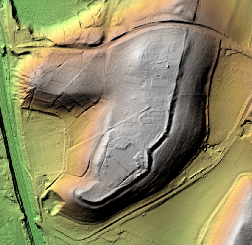
3D LIDAR interactive
3d_rotation Left mouse button to rotate.
swap_horiz Right mouse button to pan.
swap_vert Centre scroll wheel to zoom.