Galley Hill.
Sandy.
Location
Grid Reference TL185478
Latitude 52.116116° Longitude -0.2707836°
The The Historic Environment Record for Bedfordshire says:-
Summary
A subrectangular hillfort occupying a prominent position on the tip of Galley Hill, a narrow spur extending southwards from the Greensand ridge and overlooking the Ivel valley. The hillfort is surrounded on all but the north side by steep slopes and its shape is dictated by the topography. It is rectangular with rounded corners, with a level interior measuring approx 110m east to west by 60m north to south. Ramparts survive on all but the eastern side. The northern section of the ramparts includes a single inner bank, 1.5m high and 6m wide, flanked by a ditch of similar width, the ditch is largely silted up and is now approx 0.8m deep. Around the western and southern sides there are also traces of an outer, counterscarp bank enhancing the slope of the hill. The eastern side may have relied on the natural slope, perhaps with a timber palisade. There are three narrow causeways across the northern arm of the defences, two of which relate to modern trackways. The third, located approx 30m from the eastern end of the north side, was probably the original entrance.
Aerial
2D LIDAR
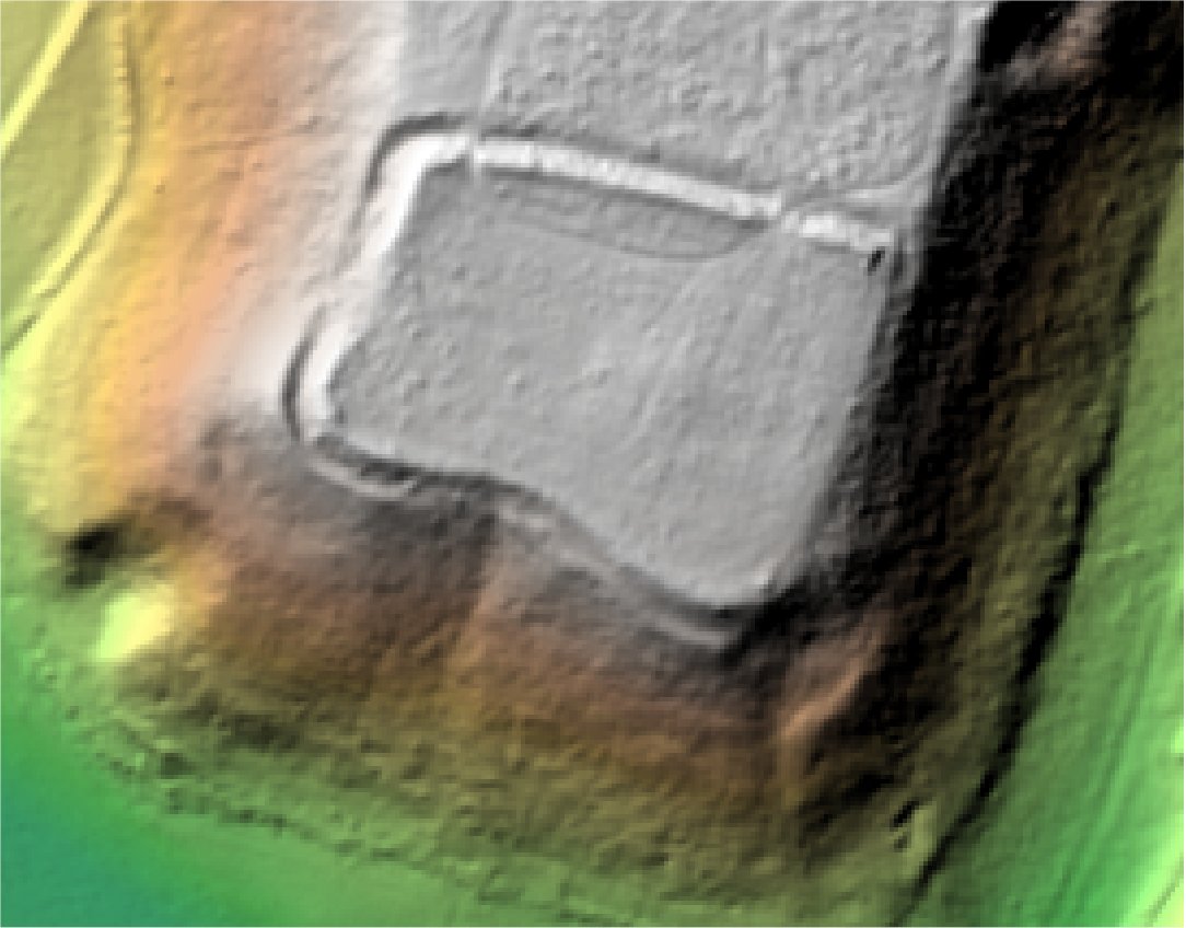
3D LIDAR interactive
3d_rotation Left mouse button to rotate.
swap_horiz Right mouse button to pan.
swap_vert Centre scroll wheel to zoom.