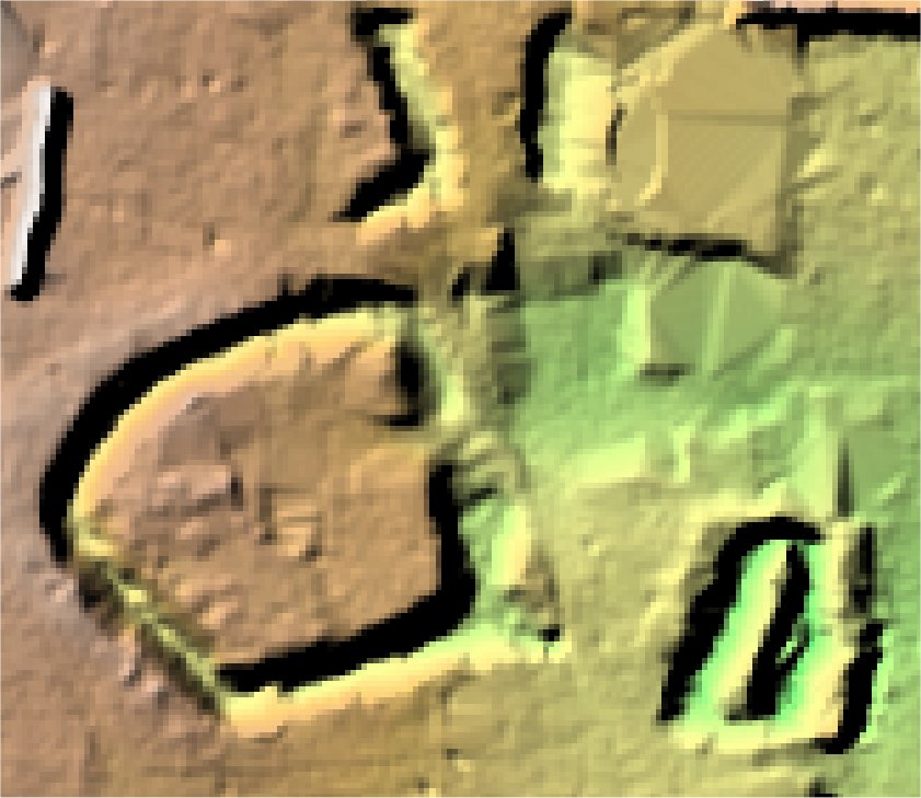
Blackburn Hall.
Thurleigh.

Location

Grid Reference TL041585

Latitude 52.215594° Longitude -0.4773278°

The The Historic Environment Record for Bedfordshire says:-

Summary

Farmhouse, on site of medieval manor. 16th and 17th century construction. May incorporate part of earlier house.

Sources and Further Reading at the Historic Environment Record.

Aerial

2D LIDAR

LIDAR

3D LIDAR interactive

3d_rotation Left mouse button to rotate.
swap_horiz Right mouse button to pan.
swap_vert Centre scroll wheel to zoom.

Click to open interactive 3D Lidar in separate window