Gannock's Castle, The Gannicks.
Tempsford.
Location
Grid Reference TL160529
Latitude 52.162468° Longitude -0.3049304°
The The Historic Environment Record for Bedfordshire says:-
Summary
A medieval moated enclosure. The island is rectangular in form measuring approximately 65m by 55m including the 10m wide surrounding moat. The latter is approx 2.5m deep and waterfilled along its northern arm. Entrance to the interior is provided by a slight causeway at the north east corner. A substantial inner bank or rampart is visible around the edge of the island on all but the east side. A small mound measuring 7m across is located at the north east corner of the island and may be the location of a defensive building or structure opposite the entrance. A low bank is evident along the outer eastern edge of the moat although its central section is only barely visible. Geophysical survey in 2004 revealed traces of internal structures on the island, probably related to occupation of the medieval moated site.
Aerial
2D LIDAR
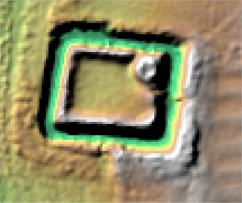
3D LIDAR interactive
3d_rotation Left mouse button to rotate.
swap_horiz Right mouse button to pan.
swap_vert Centre scroll wheel to zoom.