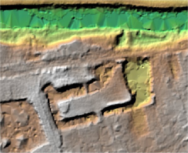
The Docks.
Willington.

Location

Grid Reference TL113502

Latitude 52.138999° Longitude -0.3748414

The The Historic Environment Record for Bedfordshire says:-

Summary

A rectangular moated site, connected to R Ouse by inlet and outlet channels (much enlarged in places by quarrying). All originally within outer rectangular enclosure. Excavations in 1973 revealed only medieval evidence.

Full description at the Historic Environment Record.

Aerial

2D LIDAR

LIDAR

3D LIDAR interactive

3d_rotation Left mouse button to rotate.
swap_horiz Right mouse button to pan.
swap_vert Centre scroll wheel to zoom.

Click to open interactive 3D Lidar in separate window