Biggleswade Castle.
Biggleswade.
Location
Grid Reference TL184445
Latitude 52.086528° Longitude -0.2730012°
The The Historic Environment Record for Bedfordshire says:-
Summary
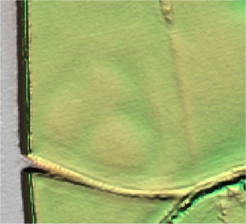
Cropmarks indicating the remains of a medieval ringwork and bailey castle. Small-scale excavation in 1962 produced 12th century pottery and evidence of timber and daub buildings, and the castle is believed to be an Anarchy castle, dating from the reign of Stephen. The ringwork consists of a circular platform, 30-35m in diameter, surrounded by two concentric circuits of ditches 5m apart, each approx 6m in width. Two oval baileys lie on the western side, forming an oval enclosure 120m from north to south, and 75m from east to west. A causeway crosses the two ditches on the northern side of the ringwork, giving access from the northern bailey. Cropmarks also show a ring ditch under the eastern bailey ditch, which itself overlies an ditch arcing to the east and north, flanked by a similar ditch. Both these ditches are thought to be part of a Neolithic or early Bronze Age enclosure. North of the northern bailey lies a square cropmarks, possibly of Iron Age or Roman date. All these early features are overlain by a cropmark of a palaeochannel.
Aerial
2D LIDAR
3D LIDAR interactive
3d_rotation Left mouse button to rotate.
swap_horiz Right mouse button to pan.
swap_vert Centre scroll wheel to zoom.