The Camp.
Bolnhurst.
Location
Grid Reference TL084597
Latitude 52.225625° Longitude -0.4131424
The The Historic Environment Record for Bedfordshire says:-
The site consists of the remains of an Iron Age hillfort and a medieval moated enclosure. The hillfort is delineated by an irregular shaped earthwork formed by a single ditch and bank. The ditch survives on the north, north west and south sides but has been largely filled in elsewhere. The internal bank or rampart survives as an earthwork 25m wide and 1m high on all sides except the east. The interior is likely to contain remains of buildings. The earthwork is bisected from east to west by Church Lane, and the medieval moated enclosure lies in the northern part, reusing the Iron Age ditches. The enclosed area measures approx 110m east to west. The western part of the ditch is water filled and measures 5m across, but elsewhere has been levelled. A triangular pond in the northern area is thought to be of medieval or post medieval type, although other earthworks in this area may be of either medieval or Iron Age date. To the north of the main enclosure is a small rectangular moated outwork, thought to form part of the medieval site.
Aerial
2D LIDAR
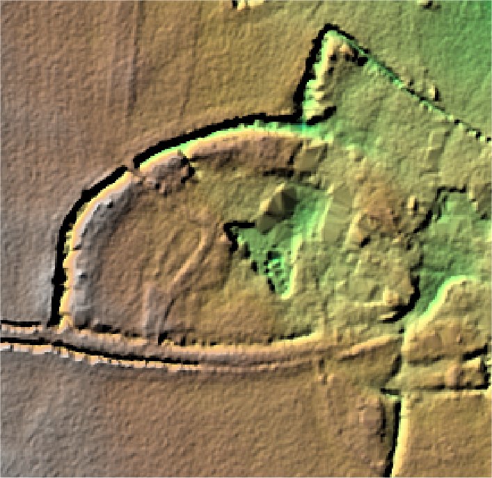
3D LIDAR interactive
3d_rotation Left mouse button to rotate.
swap_horiz Right mouse button to pan.
swap_vert Centre scroll wheel to zoom.