Church Farm.
Hockliffe.
Location
Grid Reference SP966268
Latitude 51.931843° Longitude -0.5956985°
Aerial
2D LIDAR
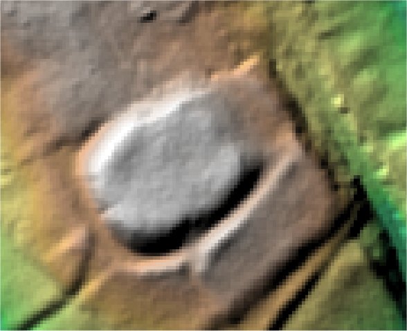
3D LIDAR interactive
3d_rotation Left mouse button to rotate.
swap_horiz Right mouse button to pan.
swap_vert Centre scroll wheel to zoom.