Berrystead.
Keysoe.

Location

Grid Reference TL060625

Latitude 52.251151° Longitude -0.4473051°

The The Historic Environment Record for Bedfordshire says:-

Summary

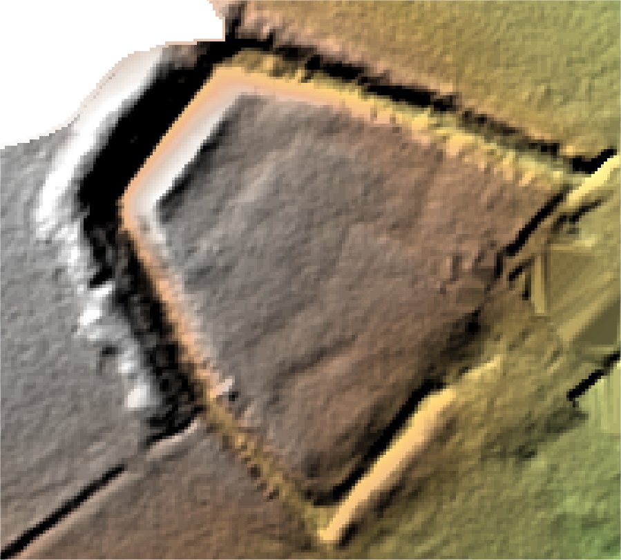
Rectilinear earthworks associated with Keysoe Park Farm moat, comprising a road and ditched enclosures flanked by ridge and furrow.

Full description at the Historic Environment Record.

Aerial

2D LIDAR

LIDAR

3D LIDAR interactive

3d_rotation Left mouse button to rotate.
swap_horiz Right mouse button to pan.
swap_vert Centre scroll wheel to zoom.

Click to open interactive 3D Lidar in separate window