John of Gaunt's Hill.
Sutton.
Location
Grid Reference TL220477
Latitude 52.11439° Longitude -0.2187115
The The Historic Environment Record for Bedfordshire says:-
The site comprises an oval mound 91.5m by 64m, standing 4.5m in height above surrounding land. There is a ditch on the west side, but this fades out towards the east, as the north was defended by a natural marsh. Access to the mound is by a causeway across the north west corner of the ditch, but there is no evidence for this being an original entrance. The top of the mound has been flattened to convert it for use as the 17th green of Sutton golf course. The manor belonged at one period to Henry, Earl of Derby, the son of John of Gaunt, and the mound may have been constructed at this time; it is probably a genuine motte, being in the appropriate position in relation to the church and the village. Fragments of roof tile have been found on the south of the mound, possibly from a "pheasantry" shown on the OS First Edition, and there are reports of animal bone and pieces of armour being found during golf course works.
Aerial
2D LIDAR
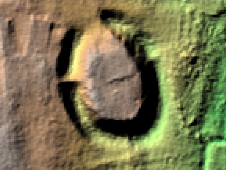
3D LIDAR interactive
3d_rotation Left mouse button to rotate.
swap_horiz Right mouse button to pan.
swap_vert Centre scroll wheel to zoom.